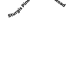
6 STURGIS PINES LN
Owner Information
RAY CHRISTOPHER L & MARIAN R
6 STURGIS PINES LN
NANTUCKET, MA 02554


Property Details
6 STURGIS PINES LN is classified as a Single Family Residential (Colonial).
The primary structure on this property was built in 2018. There are 3,025ft2 of built area within this property. There is 2,430ft2 of residential/living space within this property.
6 STURGIS PINES LN is valued at $1,251,800. The land is valued at $626,100 and the structures are valued at $625,700.
This property is in Zone LUG2. Confirm with local Zoning Board authorities to ensure there are no overlays or other easements on this property.
The most recent deed for 6 STURGIS PINES LN is recorded at the local registrar in Book 01604, Page 0160. 6 STURGIS PINES LN was last sold on Wednesday, August 16, 2017 for $0.
Assessment data from fiscal year 2022.
Flood Data
According to the FEMA National Flood Hazard Layer, this property does not appear to be in a flood zone. It may also be in an area not yet reviewed. Nonetheless, confirm this information prior to taking any action.
To view the flood hazards around this property, create a FEMA "Firmette" Map of the area around 6 STURGIS PINES LN.
Broadband Internet Providers
| Provider | Type | Bandwidth (mbps) | |
|---|---|---|---|
| Crown Castle Fiber | Fiber | 0 | 0 |
| Viasat Inc | Satellite | 35 | 3 |
| VSAT Systems, LLC. | Satellite | 2 | 1 |
| HughesNet | Satellite | 25 | 3 |
| GCI Communication Corp. | Satellite | 0 | 0 |
| Comcast | Cable | 1000 | 35 |
| Verizon New England Inc. | DSL | 5 | 0 |
Broadband service provider data from December 2020.
Adjacent Properties
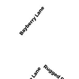
- 39 RUGGED RD
Developable Residential Land owned by KINDERMANN GRETA - 3 STURGIS PINES LN
Multiple Houses on one parcel owned by MACK DANIEL & SUSAN - 4 STURGIS PINES LN
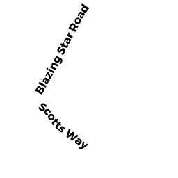
Multiple Houses on one parcel owned by HALL BROOKS C & SALLY B - 20 SCOTTS WY
Vacant, Conservation Organizations (Charitable Org.) owned by NANTUCKET CONSERVATION FOUND I